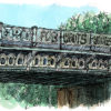
Can you tell me where I have sketched?
A often photographed view, but can you name the place I’m standing.
Leave your answer in the comment box below. Your comment will not show up until I reveal the answer tomorrow.
I will pick a random winner from all correct entries on Tuesday morning, and they will go on to the ‘Winners wall’ for the month. At the end of the month one of those on the wall will be picked to receive a prize.
The prize for November is a pack of my Edinburgh Christmas cards, a set of six illustrated Edinburgh locations, each one coming with a white envelope.

Your comment will not show up until the winner is announced. Keep an eye on my facebook and twitter feeds for clues if they are needed later today, and I will pick a winner for the Winners Wall tomorrow afternoon.
I hope you join us to play along and keep looking up and noticing the beauty in the everyday, you never know where I will be sketching next!
If you would like to buy a set of my Edinburgh Christmas cards you can find them in my Etsy shop.
Fantastic David, I love to hear these stories and to find out this was a border into the outskirts at one point. Thanks.
I did not know that, but will have to visit indeed!
Hi Livia,
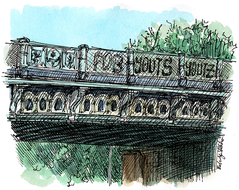
Congratulations, you have won this weeks WhereArtI quiz with your correct answer of the bridge over the A8, Roseburn Terrace. You will go into the monthly draw for a prize and I will be in touch at the end of the month if you have won.
All the best, Mark, ES
Cycle/walk bridge over A8/Roseburn Terrace close to Wester Coates Terrace.
Dalry bridge. Love yr sketches
Roseburn path over the A8.
Back in the early 1970’s (1970-1972 to be more precise), Edinburgh council decided to take a survey of where people parked their cars during the day. They hired students to wander the streets taking car registrations and to watch the traffic, taking more car registrations, as the vehicles passed certain key points. My future wife and I sat on the embankment seen through the bridge noting some of these car registrations.
You are standing a few yards east of the railway bridge at Roseburn on the Glasgow Road (also known as the A8), looking towards Glasgow.
The railway, of course, divided the town here into inside and outside the town for the purposes of the survey. Murrayfield to the south and Corstorphine to the west being the definition of countryside at the timwe.
Bridge at Roseburn Terrace, on the way to Murrayfield. If sketched on rugby weekend, you could have put the piper in. 😉
Bridge over Glasgow Road just before Roseburn
WALKWAY OVER THE UNION CANAL
MR.RONALD O’MALLEY
4/15 MONCRIEFF TERRACE
EDINBURGH
EH9 1LZ
walkway over the union canal.
The bridge on gorgie rd, just past tynecastle high school
That’s the old railway bridge over the A8 at Roseburn. See that many times on the bus! Love your art.
It’s the Bridge carrying Roseburn Path over Roseburn Terrace. You were probably near the top of Barbirnie Place.